

01
FEASIBILITY AND TOPOGRAPHIC SURVEYS
Topographic surveys to the level of production of plans, profiles contours etc., as required by international standards on roads, waterlines, powerlines, dams, building construction, Railways, mining sites, Oil & gas and Agriculture Sector in Public as well as Private Sector Investments
02
LAND ACQUISITION (RESETTLEMENT ACTION PLAN RAP)
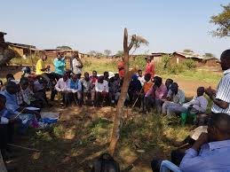
We support our clients and governments especially East Africa in RAP preparation, RAP implementation, RAP Evaluation & monitoring and RAP completion Audits for all infrastructure projects, landfills and quarries.

03
PROPERTY VALUATION
Property valuation when buying and selling properties, mortgaging and also for other purposes including insurance.

04
HYDROGRAPHIC SURVEYS (BATHYMETRY)
Bathymetry surveys on rivers and lakes and production of profiles.
05
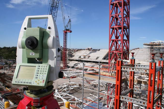
SETTING OUT, EARTHWORK VOLUME CALCULATION AND STRUCTURAL MORNITORING
Setting out of structures, earthwork survey/volume calculation, structural monitoring and As-built surveys.
06
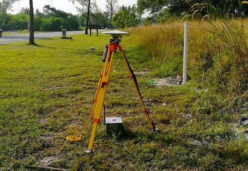
SURVEY CONTROL EXTENSION AND DEFORMATION MORNITORING
This includes the establishment and densification of control (horizontal and vertical) and monitoring. We also have the experience to undertake all kinds of surveys necessary to provide geodetic and ground control for Aerial Triangulation.
07
CADASTRE AND REAL ESTATE MANAGEMENT
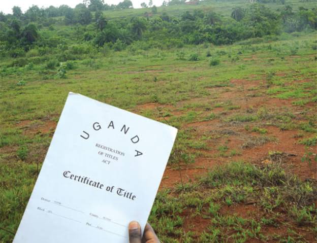
Real Estate planning, plot boundary opening, land acquisition, plot subdivision, registration of Title, Land title transfer and plot location surveys. Cogo also offers consultancy services in town and country planning.